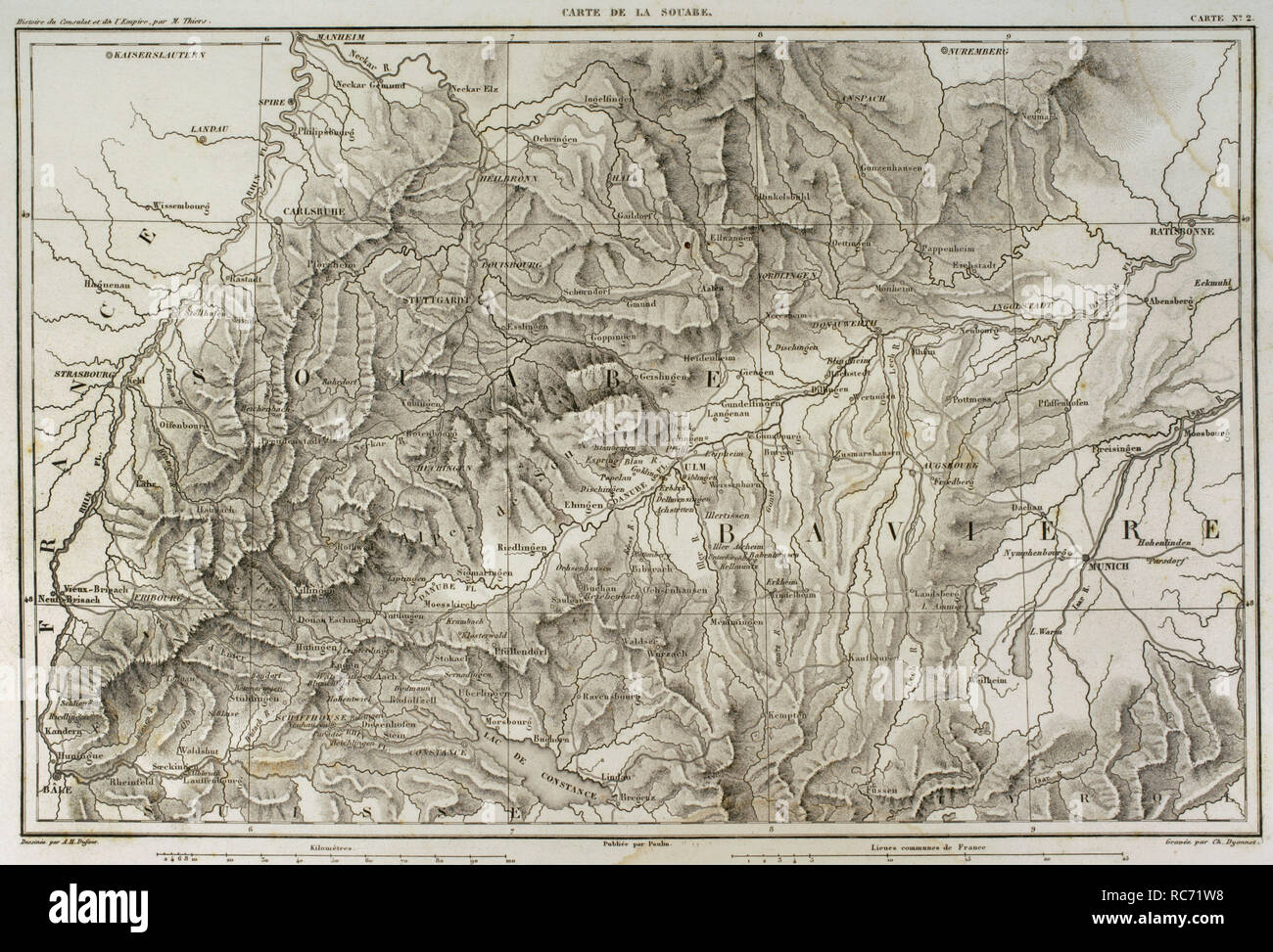
Map of Swabia (southwestern Germany). Atlas de l'Histoire du Consulat et de l'Empire. History of the Consulate and the Empire of France under Napoleon by Marie Joseph Louis Adolphe Thiers (1797-1877). Drawings by Dufour, engravings by Dyonnet. Edited in Paris, 1864.
RMID:Image ID:RC71W8
Image details
Contributor:
PRISMA ARCHIVO / Alamy Stock PhotoImage ID:
RC71W8File size:
50.2 MB (3.3 MB Compressed download)Releases:
Model - no | Property - noDo I need a release?Dimensions:
5079 x 3452 px | 43 x 29.2 cm | 16.9 x 11.5 inches | 300dpiDate taken:
12 June 2018Photographer:
Prisma ArchivoMore information:
This image could have imperfections as it’s either historical or reportage.