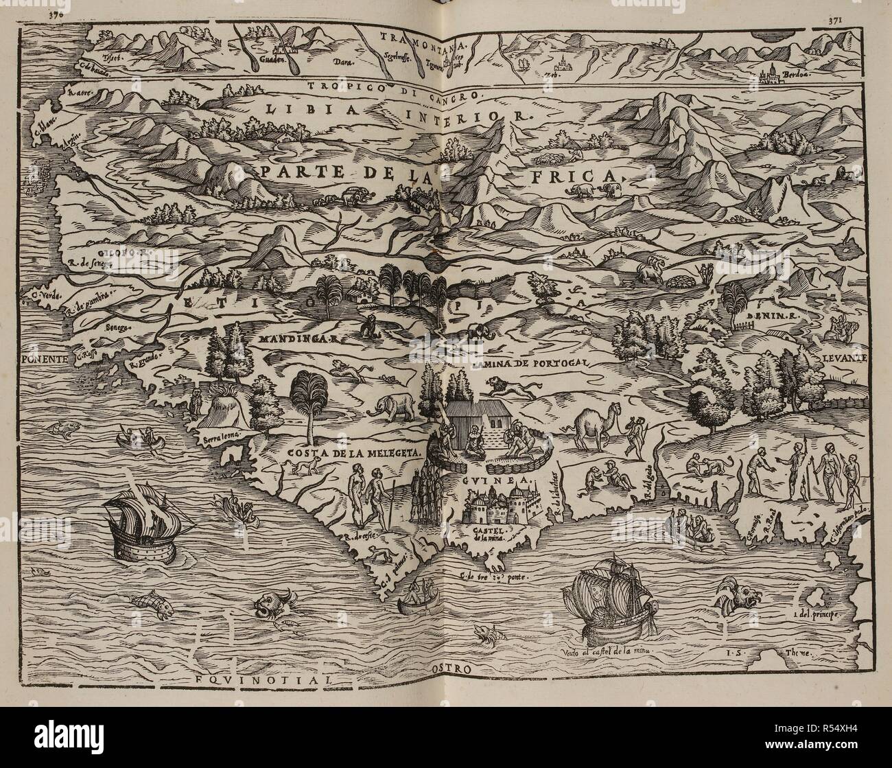
Mapa del Parte de la Frica. Coleccion de los viages y descubrimientos que hicieron por mar los Españoles desde fines del siglo XV. Madrid. Image taken from Collection of voyages and discoveries made by sea the Spaniards from the late fifteenth century. With several unpublished documents concerning the history of the Marina Castellana and the Spanish settlements in the Indies. Coordinated and illustrated by M. F. N.Published in 1825-37. Source: G.6823 370-371. Language: Spanish.
RMID:Image ID:R54XH4
Image details
Contributor:
Album / British Library / Alamy Stock PhotoImage ID:
R54XH4File size:
81.8 MB (5.5 MB Compressed download)Releases:
Model - no | Property - noDo I need a release?Dimensions:
6008 x 4760 px | 50.9 x 40.3 cm | 20 x 15.9 inches | 300dpiMore information:
This image could have imperfections as it’s either historical or reportage.