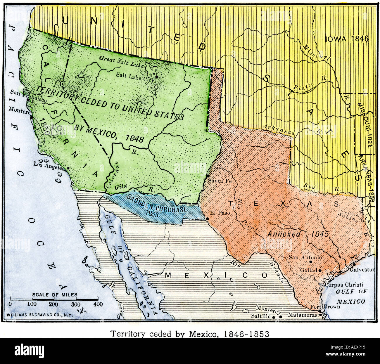
Map of the territory ceded by Mexico to the US after the Mexican American War 1848 to 1853. Hand-colored woodcut
RMID:Image ID:AEXP15
Image details
Contributor:
North Wind Picture Archives / Alamy Stock PhotoImage ID:
AEXP15File size:
31.5 MB (3.3 MB Compressed download)Releases:
Model - no | Property - noDo I need a release?Dimensions:
3520 x 3131 px | 29.8 x 26.5 cm | 11.7 x 10.4 inches | 300dpiPhotographer:
North Wind Picture ArchivesMore information:
This image could have imperfections as it’s either historical or reportage.
Hand-colored woodcut of a 19th-century illustration