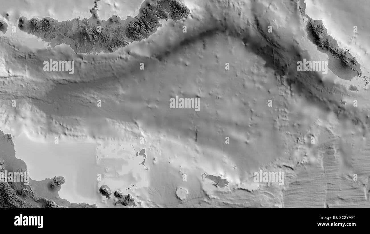
Grayscale map of the area around the Solomon Sea tectonic plate. 3D rendering
RFID:Image ID:2C2YAP4
Image details
Contributor:
Yarr65 / Alamy Stock PhotoImage ID:
2C2YAP4File size:
53.4 MB (911.7 KB Compressed download)Releases:
Model - no | Property - noDo I need a release?Dimensions:
5760 x 3240 px | 48.8 x 27.4 cm | 19.2 x 10.8 inches | 300dpiDate taken:
16 June 2020