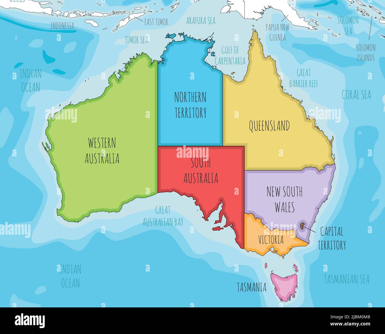
Vector illustrated map of Australia with regions and administrative divisions, and neighbouring countries and territories. Editable and clearly labele
RFID:Image ID:2JBM0MB
Image details
Contributor:
asantosg / Alamy Stock VectorImage ID:
2JBM0MBReleases:
Model - no | Property - noDo I need a release?Date created:
7 June 2022More information:
Vector illustrated map of Australia with regions and administrative divisions, and neighbouring countries and territories. Editable and clearly labeled layers.