Hawaii Islands Political Map
RFID:Image ID:E06BEG
Image details
Contributor:
Peter Hermes Furian / Alamy Stock PhotoImage ID:
E06BEGFile size:
151.1 MB (2.2 MB Compressed download)Releases:
Model - no | Property - noDo I need a release?Dimensions:
9000 x 5868 px | 76.2 x 49.7 cm | 30 x 19.6 inches | 300dpiLocation:
hawaiiMore information:
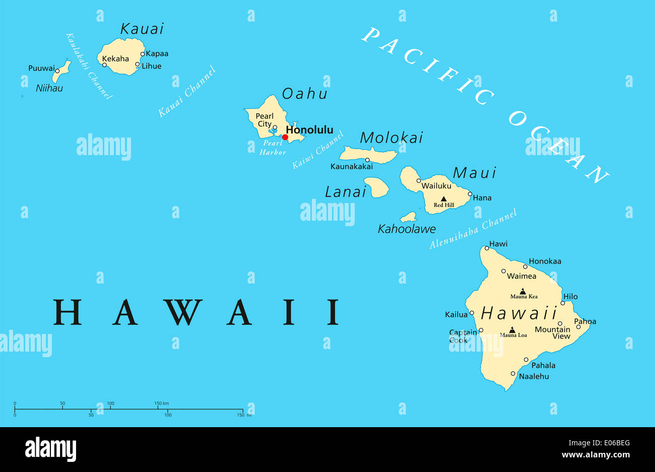
Political map of Hawaii Islands with the capital Honolulu, with borders, most important cities and volcanoes. Illustration with english labeling and scale.