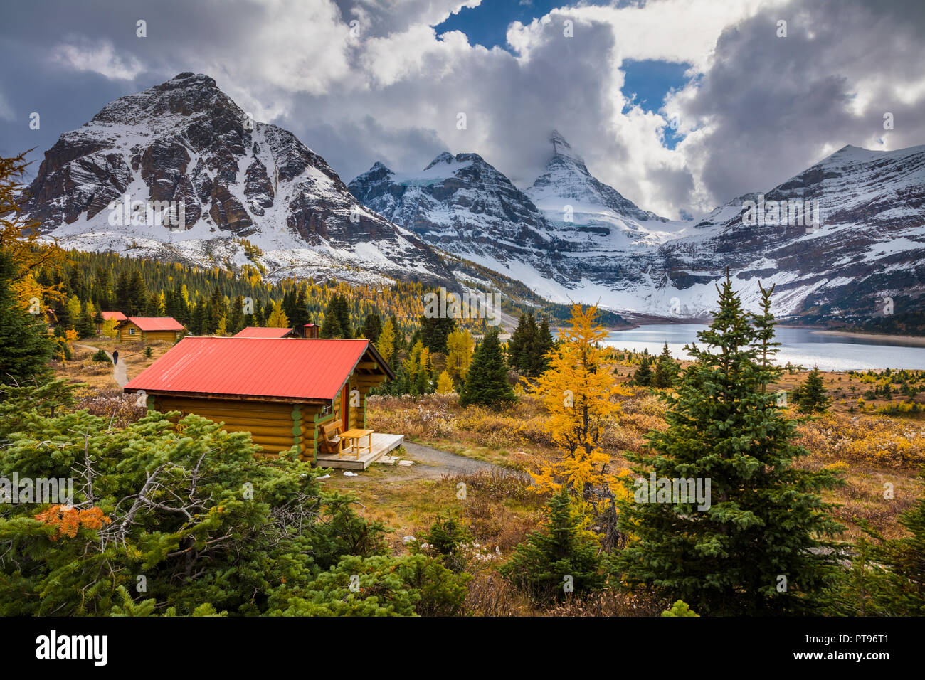
Mount Assiniboine Provincial Park is a provincial park in British Columbia, Canada, located around Mount Assiniboine.
Image details
Contributor:
Inge Johnsson / Alamy Stock PhotoImage ID:
PT96T1File size:
100 MB (7 MB Compressed download)Releases:
Model - no | Property - noDo I need a release?Dimensions:
7242 x 4828 px | 61.3 x 40.9 cm | 24.1 x 16.1 inches | 300dpiDate taken:
20 September 2018Location:
Lake Magog, East Kootenay G, BC, CanadaMore information:
Mount Assiniboine, also known as Assiniboine Mountain, is a pyramidal peak mountain located on the Great Divide, on the British Columbia/Alberta border in Canada. At 11, 870 ft, it is the highest peak in the Southern Continental Ranges of the Canadian Rockies. Mt. Assiniboine rises nearly 1, 525 m (5, 003 ft) above Lake Magog. Because of its resemblance to the Matterhorn in the Alps, it is nicknamed the "Matterhorn of the Rockies". Mt. Assiniboine was named by George M. Dawson in 1885. When Dawson saw Mt. Assiniboine from Copper Mountain, he saw a plume of clouds trailing away from the top. This reminded him of the plumes of smoke emanating from the teepees of Assiniboine Indians. Mt. Assiniboine lies on the border between Mount Assiniboine Provincial Park, in British Columbia, and Banff National Park, in Alberta. The park does not have any roads and thus can only be reached by a six-hour hike or horse-pack 27 km, three-hour bike ride (now disallowed to reduce human / grizzly encounters) or helicopter. The usual approach is via Bryant Creek. From Canmore follow the Smith-Dorien road to the Mount Shark parking lot. The trail is well signed. A helipad is also here.