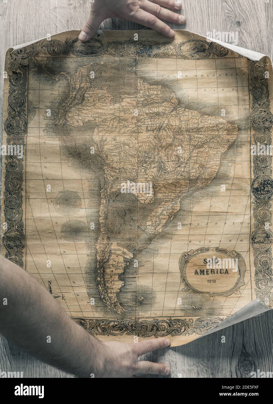
Old map of South America from 1859. The map shows the contemporary borders of the Countries.

RFID:Image ID:2DE5FXF
Image details
Contributor:
Andrzej Rostek / Alamy Stock PhotoImage ID:
2DE5FXFFile size:
75.5 MB (4.4 MB Compressed download)Releases:
Model - no | Property - noDo I need a release?Dimensions:
4365 x 6043 px | 37 x 51.2 cm | 14.6 x 20.1 inches | 300dpiDate taken:
29 November 2020