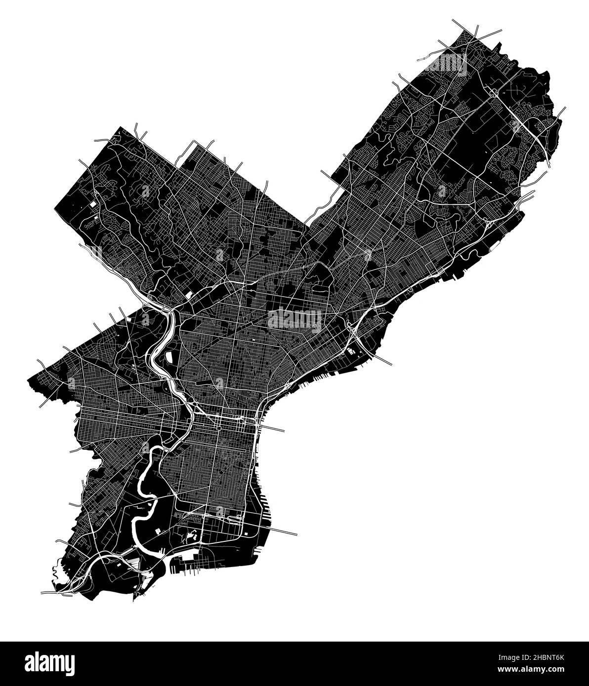
Philadelphia, Pennsylvania, United States, high resolution vector map with city boundaries, and editable paths. The city map was drawn with white area
RFID:Image ID:2HBNT6K
Image details
Contributor:
nestign / Alamy Stock VectorImage ID:
2HBNT6KReleases:
Model - no | Property - noDo I need a release?Date created:
20 December 2021More information:
Philadelphia, Pennsylvania, United States, high resolution vector map with city boundaries, and editable paths. The city map was drawn with white areas and lines for main roads, side roads and watercourses on a black background.