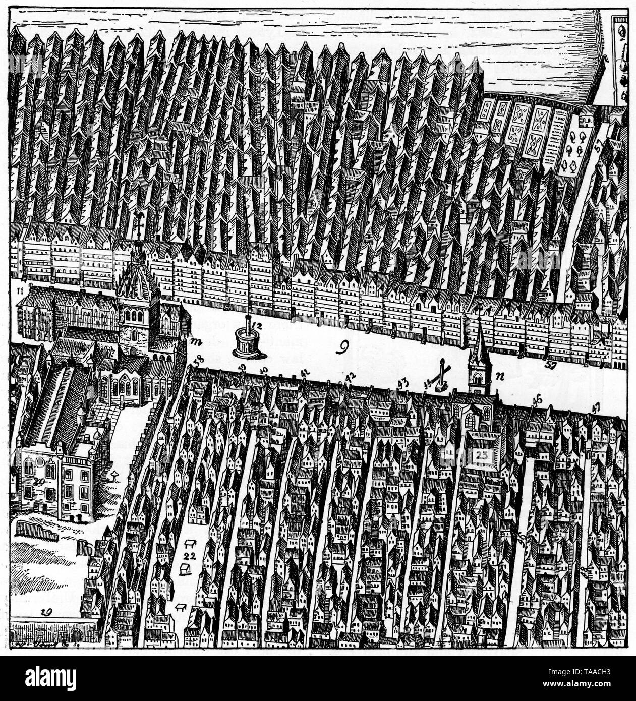
Plan of Edinburgh, from St Giles's to Hackerston's Wynd, 17th century. By James Gordon of Rothiemay (c1615-1686)
RMID:Image ID:TAACH3
Image details
Contributor:
The History Emporium / Alamy Stock PhotoImage ID:
TAACH3File size:
50.3 MB (4 MB Compressed download)Releases:
Model - no | Property - noDo I need a release?Dimensions:
4133 x 4258 px | 35 x 36.1 cm | 13.8 x 14.2 inches | 300dpiDate taken:
1615More information:
This image could have imperfections as it’s either historical or reportage.