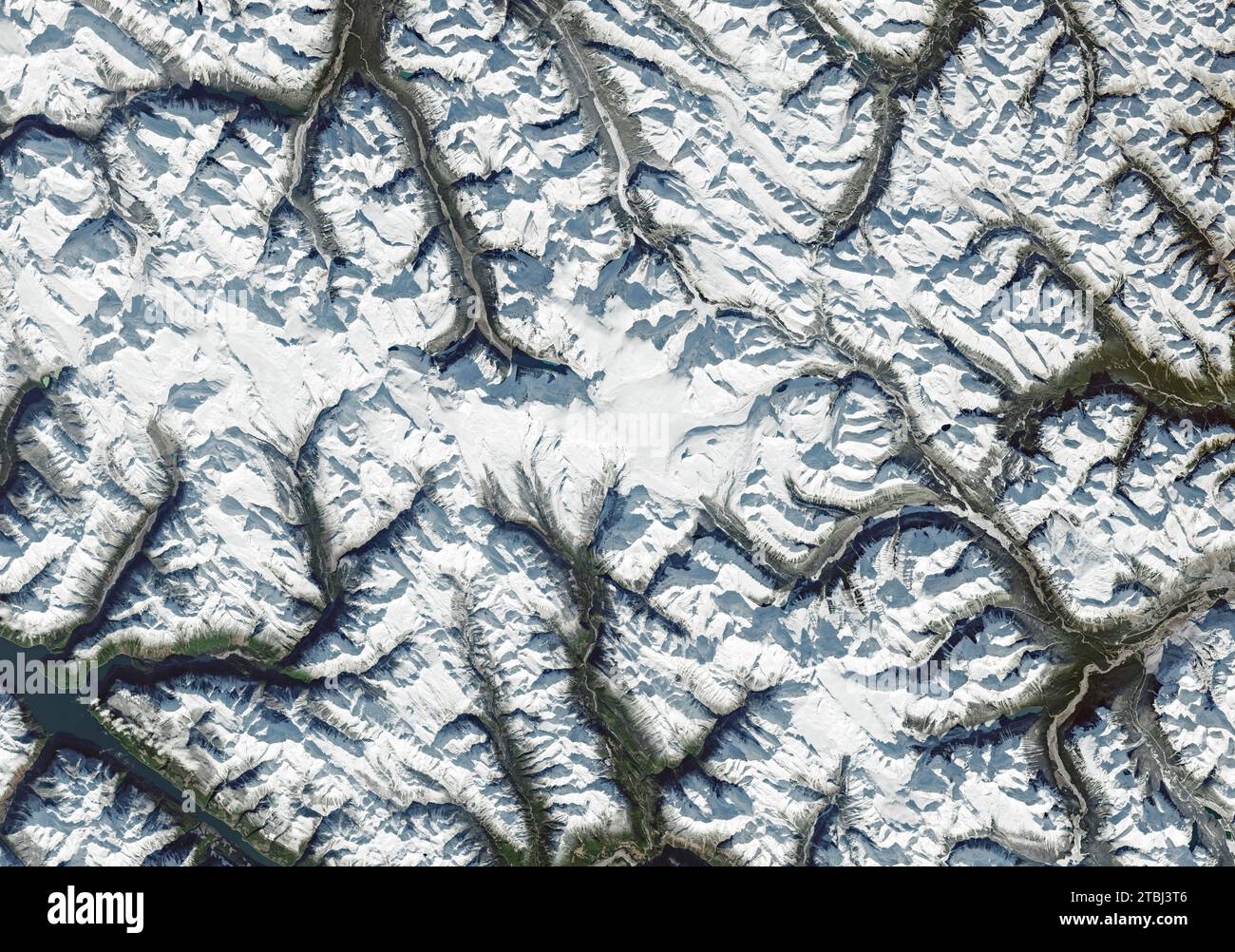
Satellite image of an icefield spanning the provinces of British Columbia and Alberta, Canada.
RFID:Image ID:2TBJ3T6
Image details
Contributor:
Stocktrek Images, Inc. / Alamy Stock PhotoImage ID:
2TBJ3T6File size:
75.9 MB (4.9 MB Compressed download)Releases:
Model - no | Property - noDo I need a release?Dimensions:
6150 x 4315 px | 52.1 x 36.5 cm | 20.5 x 14.4 inches | 300dpiDate taken:
31 October 2021Location:
CanadaPhotographer:
Stocktrek ImagesMore information:
This image is a public domain image, which means either that copyright has expired in the image or the copyright holder has waived their copyright. Alamy charges you a fee for access to the high resolution copy of the image.
October 31, 2021 - Satellite image of an icefield spanning the provinces of British Columbia and Alberta, as well as Jasper and Banff National Parks in Canada. Saskatchewan Glacier, the icefield's largest outlet glacier, forms the headwaters of the North Saskatchewan River, an important source of freshwater for communities downstream.