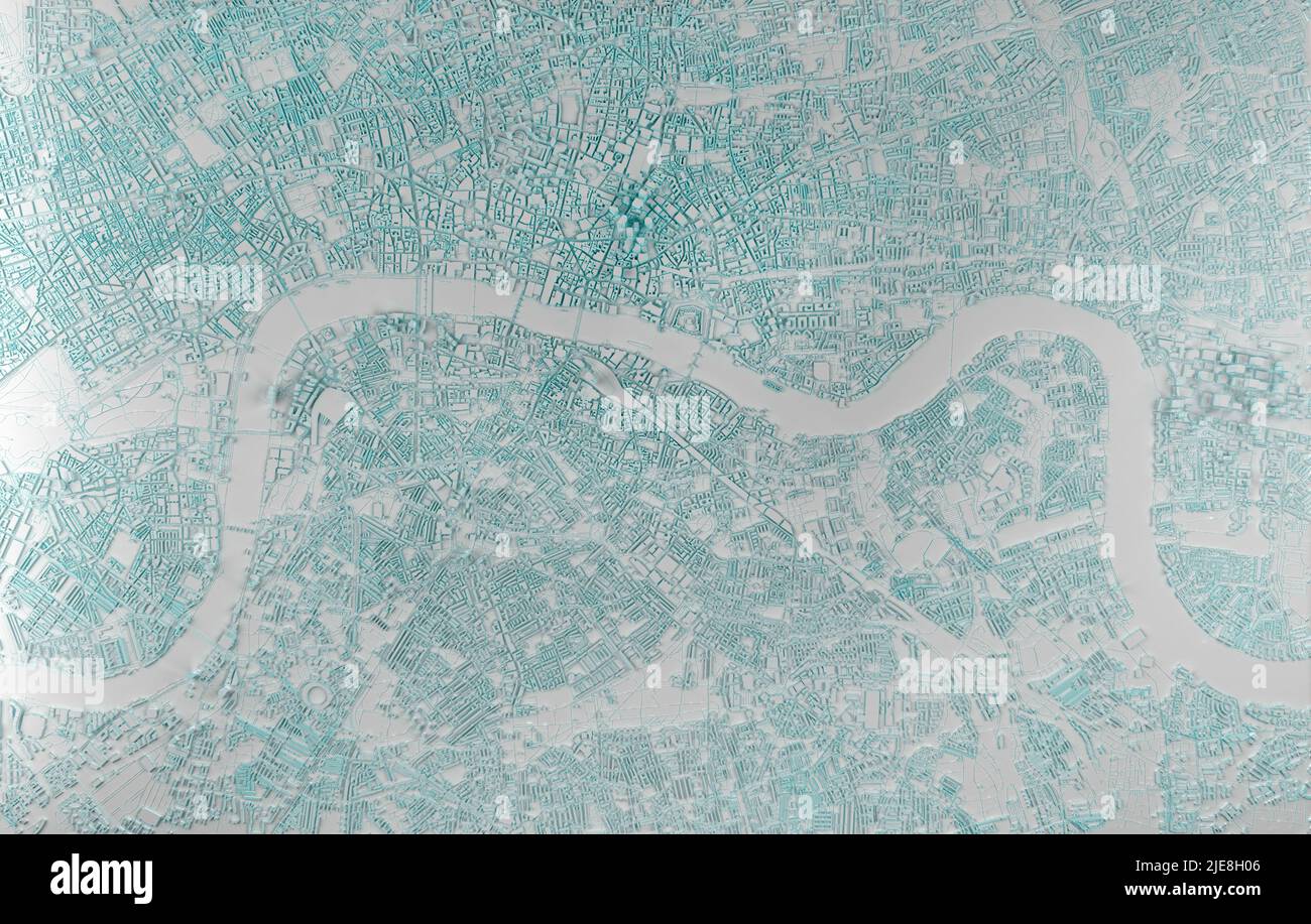
simplified map of the city of London aerial view. 3d rendering
RFID:Image ID:2JE8H06
Image details
Contributor:
Konstantin Petrov / Alamy Stock PhotoImage ID:
2JE8H06File size:
144.4 MB (11 MB Compressed download)Releases:
Model - no | Property - noDo I need a release?Dimensions:
8904 x 5670 px | 75.4 x 48 cm | 29.7 x 18.9 inches | 300dpi