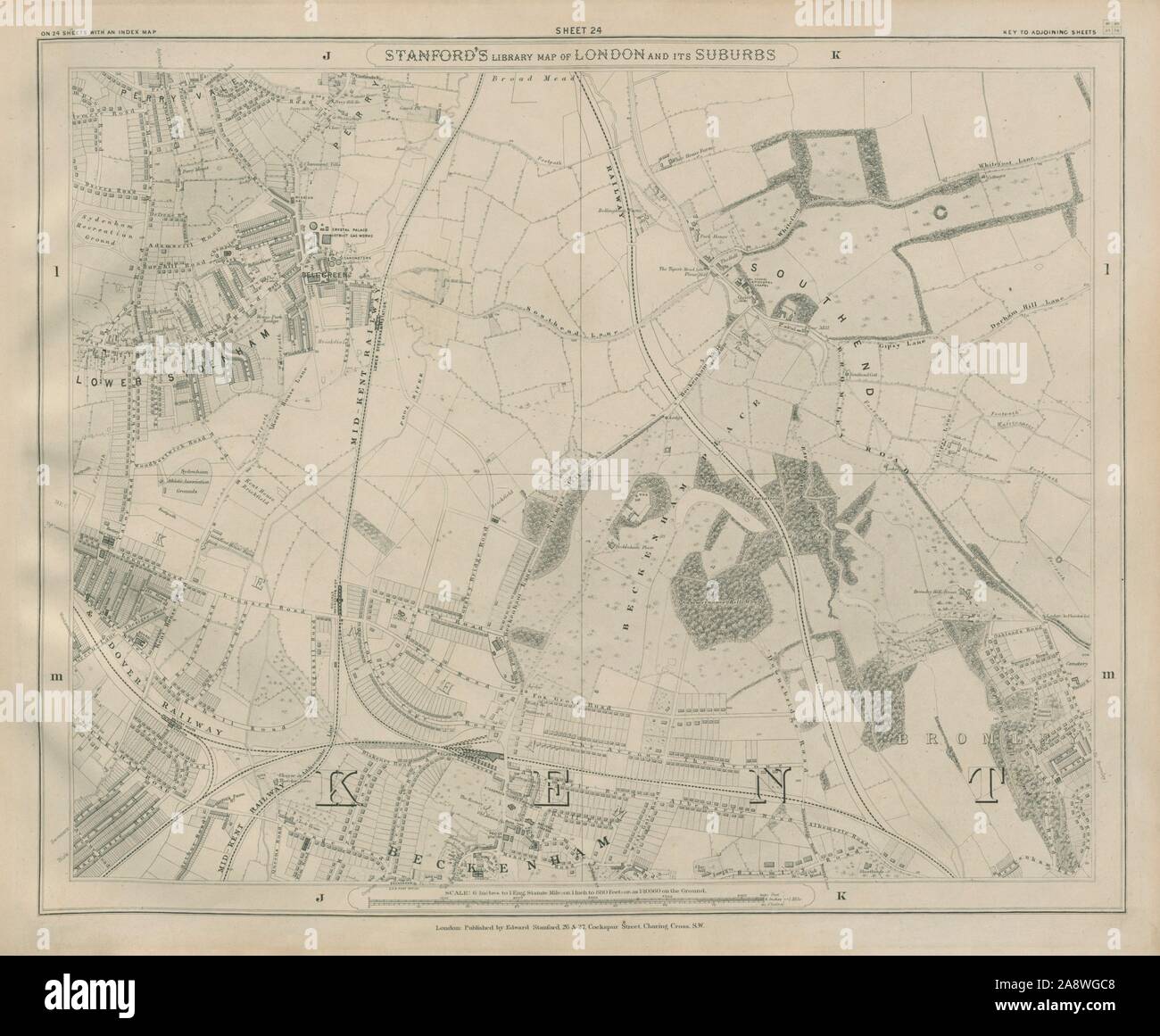
Stanford Library map of London Sheet 24 Beckenham Sydenham Bromley Southend 1895
RFID:Image ID:2A8WGC8
Image details
Contributor:
Antiqua Print Gallery / Alamy Stock PhotoImage ID:
2A8WGC8File size:
62.7 MB (2.5 MB Compressed download)Releases:
Model - no | Property - noDo I need a release?Dimensions:
5157 x 4249 px | 43.7 x 36 cm | 17.2 x 14.2 inches | 300dpiDate taken:
1895Location:
LondonMore information:
This image could have imperfections as it’s either historical or reportage.
Stanford's Library map of London and its suburbs - Sheet 24. Artist/engraver/cartographer: Edward Stanford. Provenance: Stanford's Library map of London and its suburbs, Edward Stanford, 26 & 27 Cockspur Street. Type: Antique street map of part of London. Sheet 24 Lower Sydenham, Southend, Beckenham, Bromley, Bell Green, Perry Vale, Downham