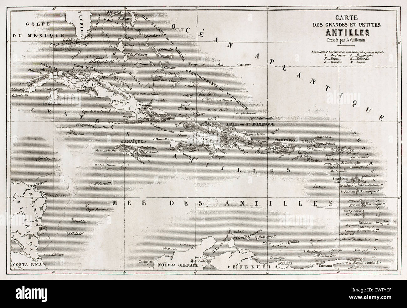
Antilles old map
RFID:Image ID:CWTYCF
Image details
Contributor:
Oldtime / Alamy Stock PhotoImage ID:
CWTYCFFile size:
38.5 MB (2.7 MB Compressed download)Releases:
Model - no | Property - noDo I need a release?Dimensions:
4418 x 3046 px | 37.4 x 25.8 cm | 14.7 x 10.2 inches | 300dpiDate taken:
1860Location:
AntillesMore information:
Antilles old map. Created by Vuillemin and Erhard, published on Le Tour du Monde, Paris, 1860