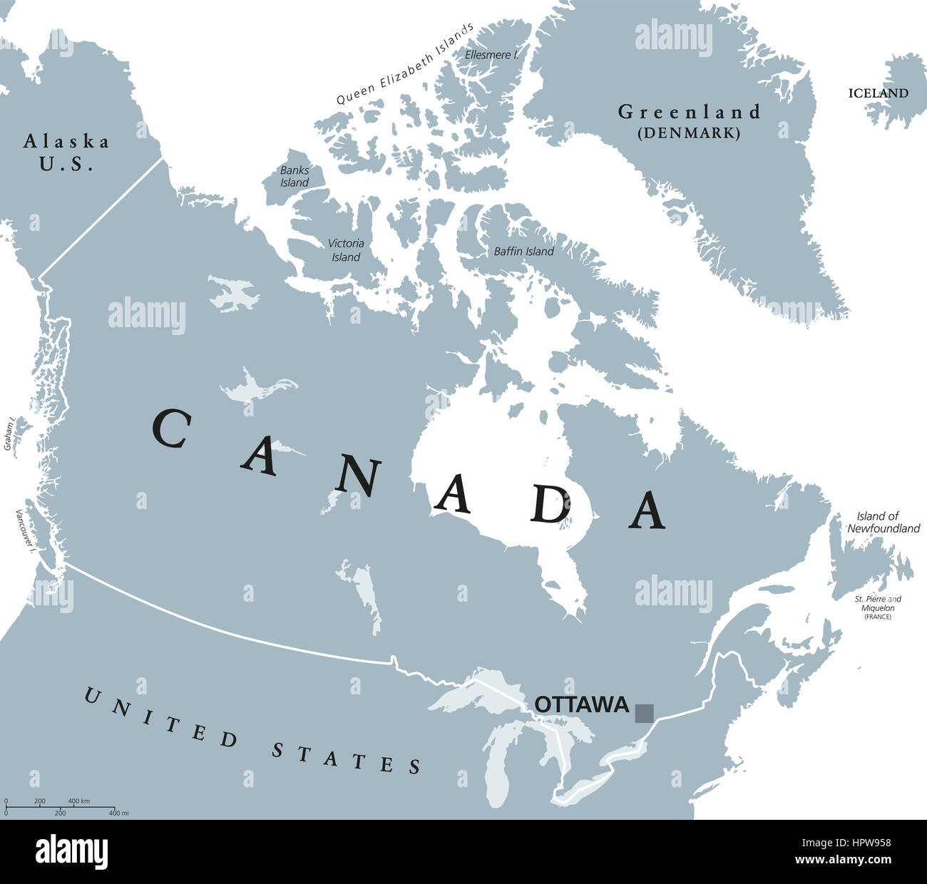
Canada political map with capital Ottawa, national borders and its neighbors. Country in northern half of North America.
RFID:Image ID:HPW958
Image details
Contributor:
Peter Hermes Furian / Alamy Stock PhotoImage ID:
HPW958File size:
180.5 MB (1.6 MB Compressed download)Releases:
Model - no | Property - noDo I need a release?Dimensions:
8444 x 7471 px | 71.5 x 63.3 cm | 28.1 x 24.9 inches | 300dpiDate taken:
24 February 2017Location:
CanadaMore information:
Canada political map with capital Ottawa, national borders and its neighbors. Country in northern half of North America. Gray illustration with English labeling, isolated on white background.