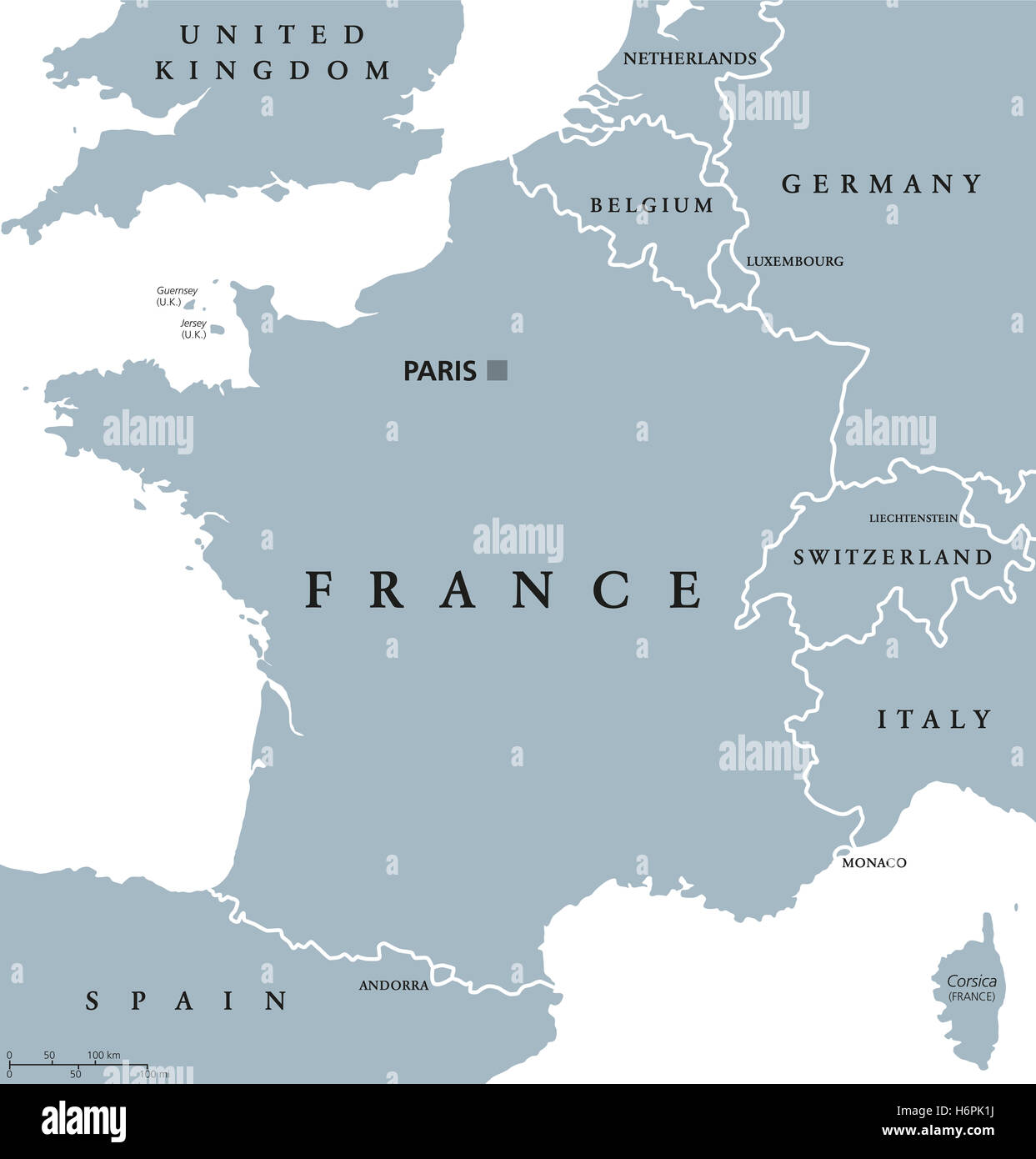
France political map with capital Paris, Corsica, national borders and neighbor countries. Gray illustration.
RFID:Image ID:H6PK1J
Image details
Contributor:
Peter Hermes Furian / Alamy Stock PhotoImage ID:
H6PK1JFile size:
181.1 MB (1.3 MB Compressed download)Releases:
Model - no | Property - noDo I need a release?Dimensions:
7781 x 8133 px | 65.9 x 68.9 cm | 25.9 x 27.1 inches | 300dpiDate taken:
31 October 2016Location:
FranceMore information:
France political map with capital Paris, Corsica, national borders and neighbor countries. Gray illustration with English labeling and scaling on white background.