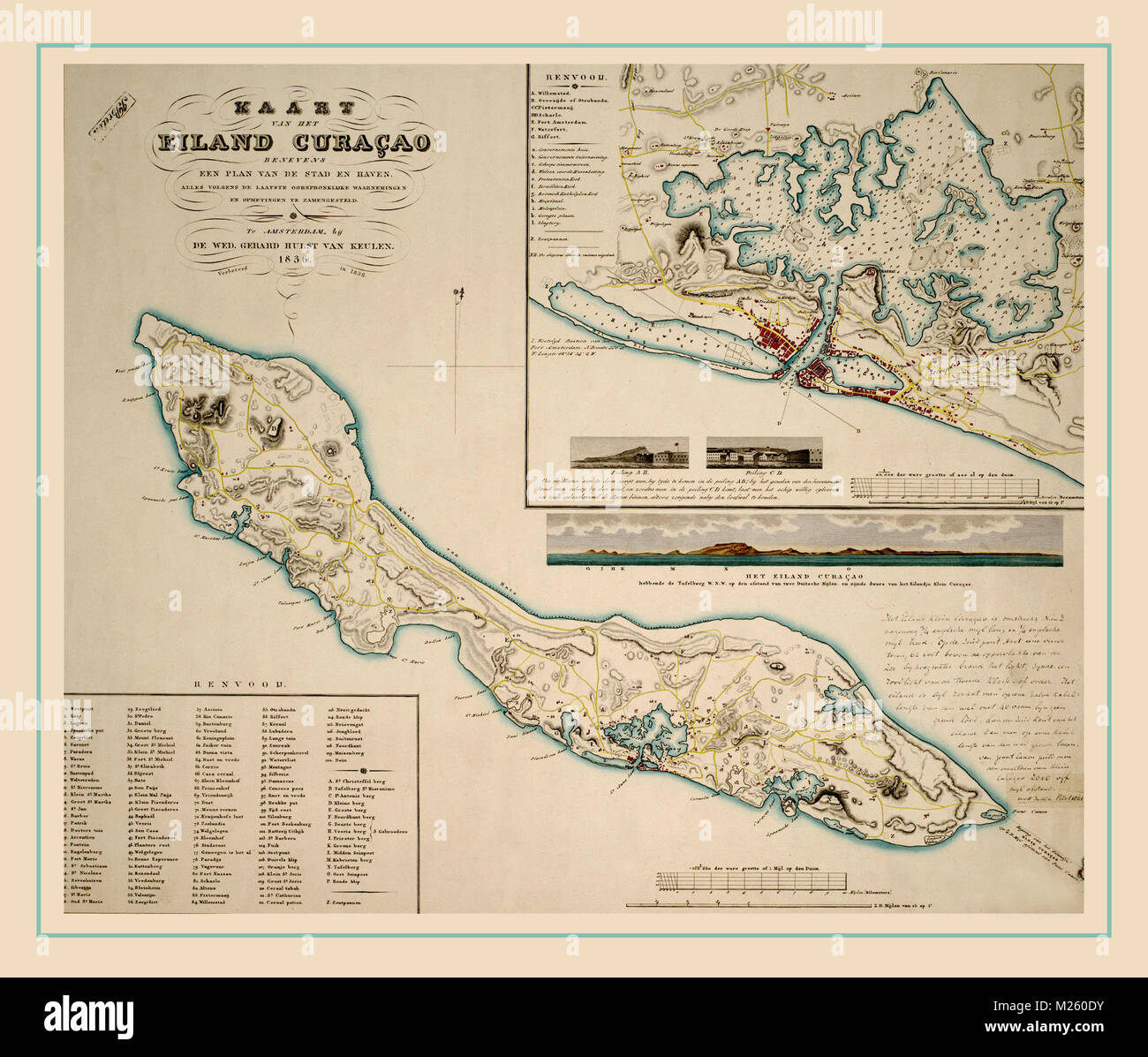
Historical map of Curacao circa 1836.
RFID:Image ID:M260DY
Image details
Contributor:
Andrew Fare / Alamy Stock PhotoImage ID:
M260DYFile size:
17.8 MB (1 MB Compressed download)Releases:
Model - no | Property - noDo I need a release?Dimensions:
2700 x 2300 px | 22.9 x 19.5 cm | 9 x 7.7 inches | 300dpiMore information:
This image could have imperfections as it’s either historical or reportage.