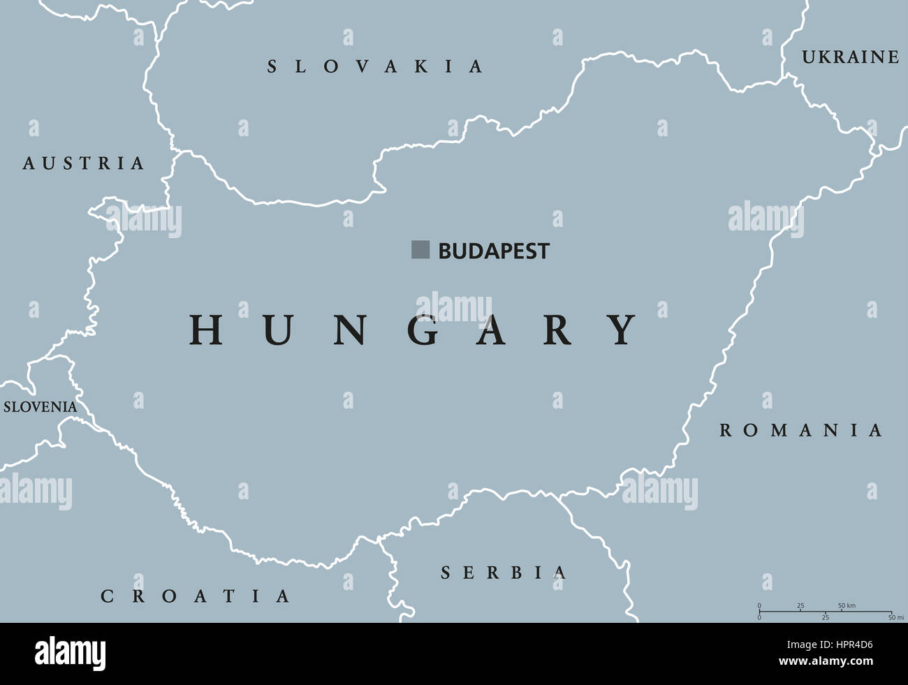
Hungary political map with capital Budapest, national borders and neighbor countries. Unitary parliamentary republic in Central Europe.

RFID:Image ID:HPR4D6
Image details
Contributor:
Peter Hermes Furian / Alamy Stock PhotoImage ID:
HPR4D6File size:
183.4 MB (1.2 MB Compressed download)Releases:
Model - no | Property - noDo I need a release?Dimensions:
9666 x 6631 px | 81.8 x 56.1 cm | 32.2 x 22.1 inches | 300dpiDate taken:
24 February 2017Location:
HungaryMore information:
Hungary political map with capital Budapest, national borders and neighbor countries. Unitary parliamentary republic in Central Europe. Gray illustration, English labeling, on white background.