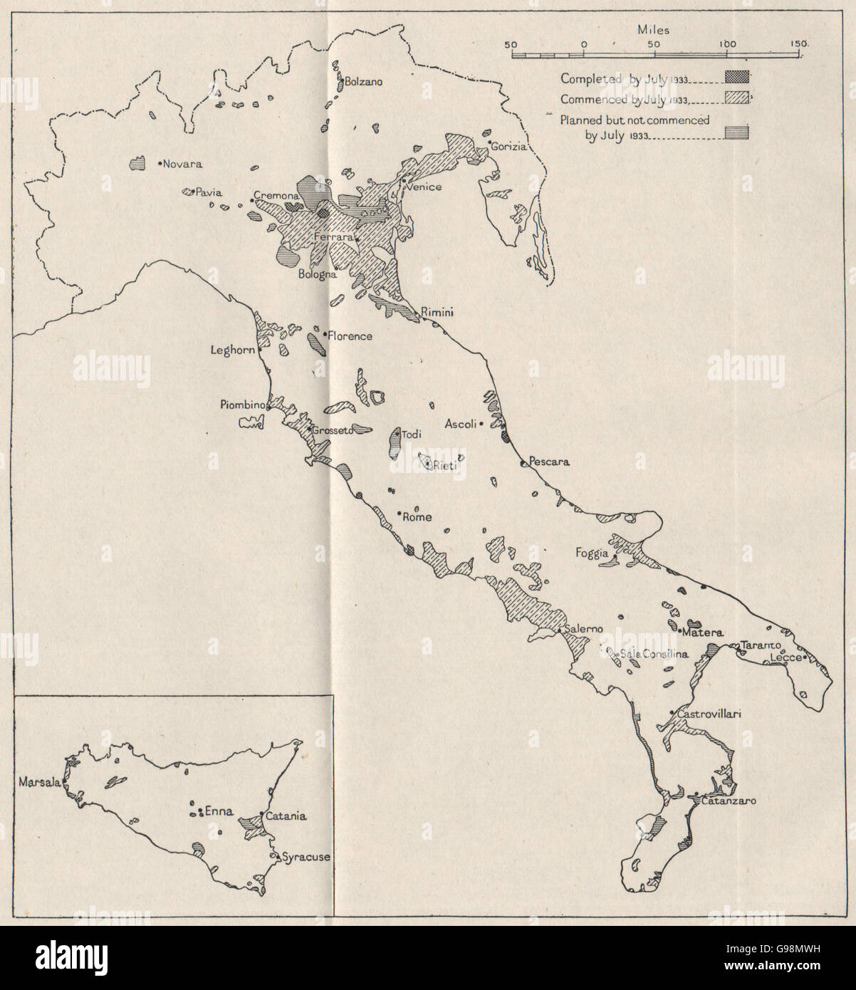
ITALY: Land reclamation schemes, 1933. WW2 ROYAL NAVY INTELLIGENCE MAP, 1945
RFID:Image ID:G98MWH
Image details
Contributor:
Antiqua Print Gallery / Alamy Stock PhotoImage ID:
G98MWHFile size:
12.2 MB (512.2 KB Compressed download)Releases:
Model - no | Property - noDo I need a release?Dimensions:
1984 x 2145 px | 33.6 x 36.3 cm | 13.2 x 14.3 inches | 150dpiDate taken:
1945Location:
ItalyMore information:
This image could have imperfections as it’s either historical or reportage.
'Areas of and reclamation schemes, 1933'. Artist/engraver/cartographer: British Naval Intelligence. Provenance: "Italy Geographical Handbook Series"; published by Naval Intelligence Division. Type: Vintage Second World War British Naval Intelligence map.