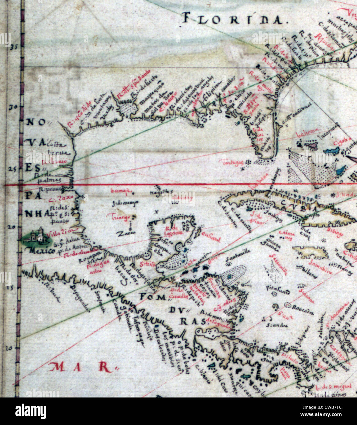
Map of Spanish Americas, featuring New Spain, Florida, Cuba, and the Gulf Of Mexico. ca. 1630
RMID:Image ID:CWB7TC
Image details
Contributor:
Everett Collection Historical / Alamy Stock PhotoImage ID:
CWB7TCFile size:
25.5 MB (1.4 MB Compressed download)Releases:
Model - no | Property - noDo I need a release?Dimensions:
2827 x 3150 px | 23.9 x 26.7 cm | 9.4 x 10.5 inches | 300dpiPhotographer:
Everett CollectionMore information:
This image could have imperfections as it’s either historical or reportage.
Map of Spanish Americas, featuring New Spain, Florida, Cuba, and the Gulf Of Mexico. ca. 1630