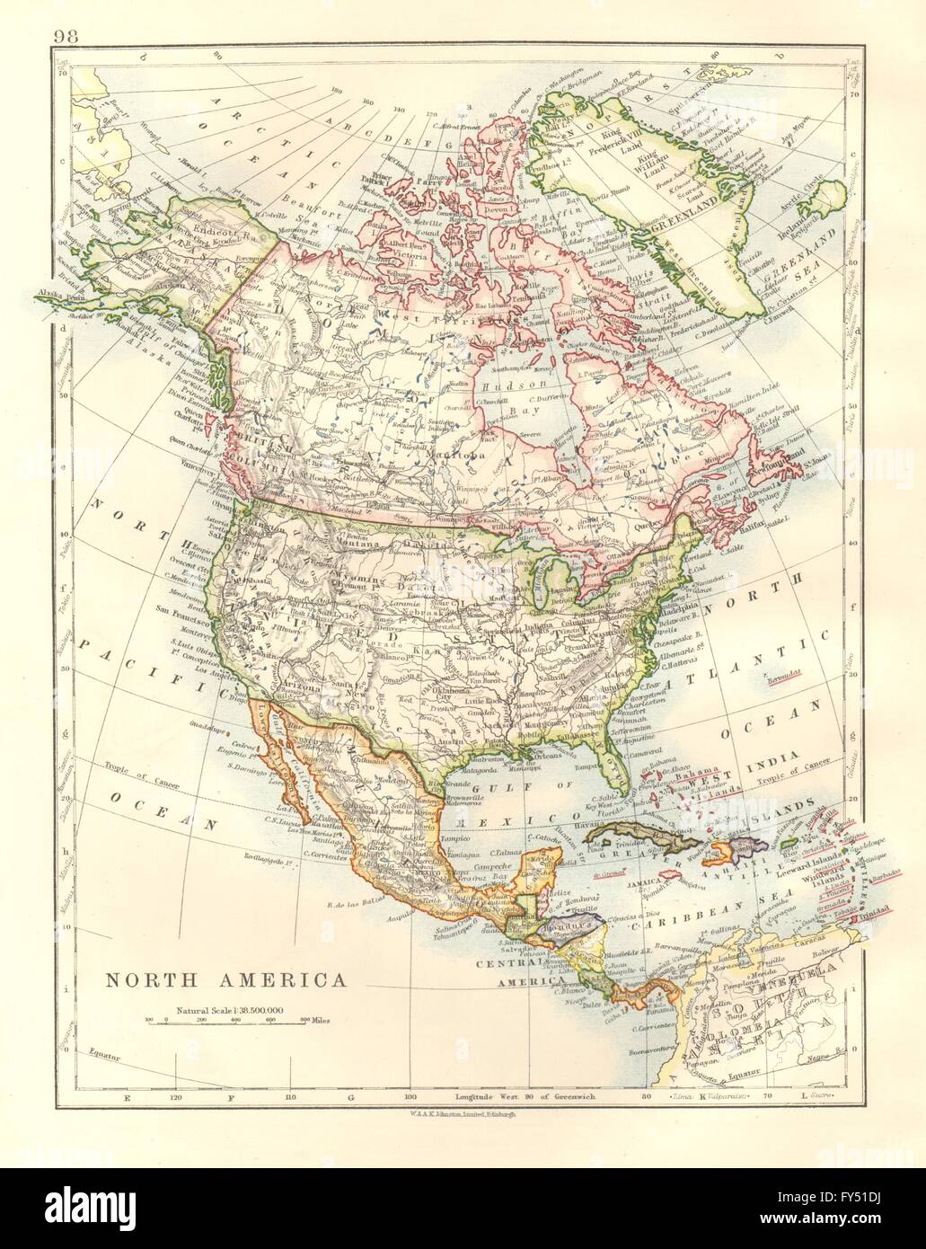
NORTH AMERICA POLITICAL. Greenland USA Canada Mexico. JOHNSTON, 1920 old map
RFID:Image ID:FY51DJ
Image details
Contributor:
Antiqua Print Gallery / Alamy Stock PhotoImage ID:
FY51DJFile size:
25.1 MB (1.3 MB Compressed download)Releases:
Model - no | Property - noDo I need a release?Dimensions:
2636 x 3322 px | 22.3 x 28.1 cm | 8.8 x 11.1 inches | 300dpiDate taken:
1920Location:
North AmericaMore information:
This image could have imperfections as it’s either historical or reportage.
'North America, political'. Artist/engraver/cartographer: W & AK Johnston . Provenance: "The World Wide Atlas of Modern Geography Political and Physical"; Published by W. & A. K. Johnston, Edinburgh & Macmillan & Co Ltd. London. 10th Edition. Type: Colour vintage map.