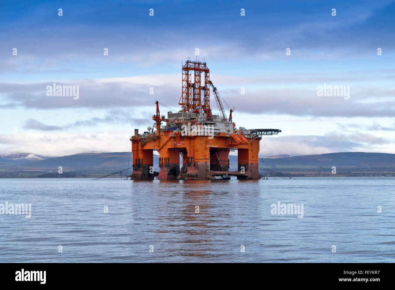
NORTH SEA OIL RIG THE WEST PHOENIX ANCHORED OUTSIDE CROMARTY THE BLACK ISLE CROMARTY FIRTH
Image details
Contributor:
JOHN BRACEGIRDLE / Alamy Stock PhotoImage ID:
FEYKR7File size:
68.7 MB (2.3 MB Compressed download)Releases:
Model - no | Property - noDo I need a release?Dimensions:
6000 x 4000 px | 50.8 x 33.9 cm | 20 x 13.3 inches | 300dpiDate taken:
8 February 2016Location:
SCOTLANDMore information:
The entrance to the Cromarty Firth is guarded by two precipitous headlands; the one on the north 151 metres high and the one on the south 141 metres high — called "The Sutors" from a fancied resemblance to a couple of shoemakers (in Scots, souters) bent over their lasts. From the Sutors the Firth extends inland in a westerly and then south-westerly direction for a distance of 19 miles (30.6 kilometres). The southern shore of the Firth is formed by a peninsula known as the Black Isle. The principal settlements on its shores are Dingwall near the head, Cromarty near the mouth and Invergordon on the north shore. The villages of Evanton, Alness and Culbokie are nearby. There is one bridge, the A9 road crossing between Ardullie and Findon.