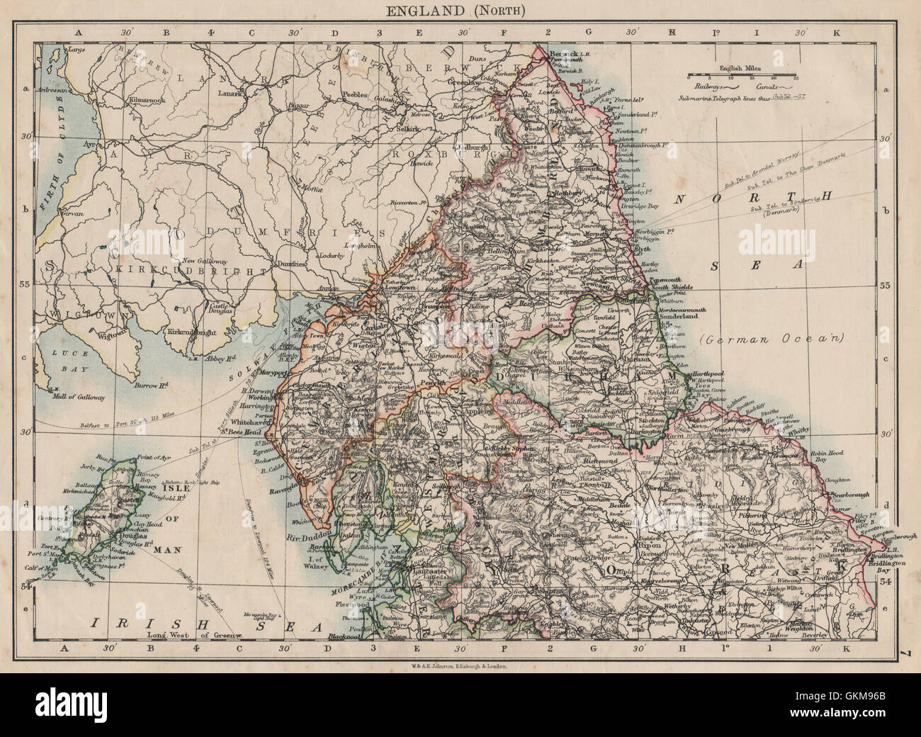
NORTHERN ENGLAND. Northumbs Durham Cumbs Westm N Yorks IOM. JOHNSTON, 1900 map
RFID:Image ID:GKM96B
Image details
Contributor:
Antiqua Print Gallery / Alamy Stock PhotoImage ID:
GKM96BFile size:
24.3 MB (1.9 MB Compressed download)Releases:
Model - no | Property - noDo I need a release?Dimensions:
3408 x 2491 px | 28.9 x 21.1 cm | 11.4 x 8.3 inches | 300dpiDate taken:
1900Location:
EnglandMore information:
This image could have imperfections as it’s either historical or reportage.
'England (North)'. Artist/engraver/cartographer: W. & A.K. Johnston, Limited, Edinburgh & London. Provenance: "The World-Wide Atlas of Modern Geography"; by J. Scott Keltie; published by W. & A.K. Johnston, London: 5th Edition. Type: Antique colour map.