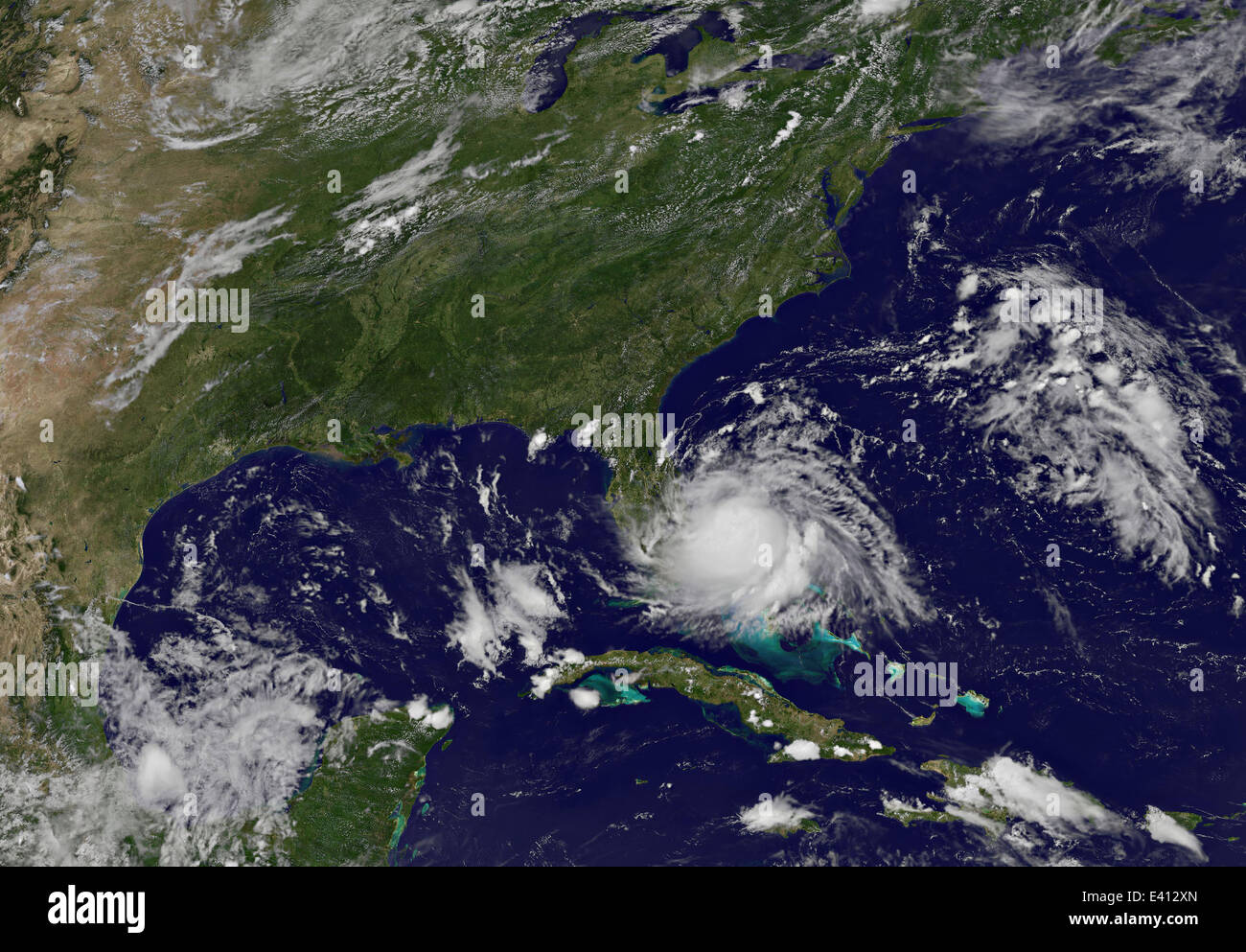
Satellite imagery shows the first Atlantic tropical storm of the 2014 season as it gathers strength off the coast of Florida July 1, 2014 near Settlement Point, Grand Bahama Island. The cyclone is expected to become Hurricane Arthur within 72 hours and move up the east coast making landfall on the Outer Banks of North Carolina.
RMID:Image ID:E412XN
Image details
Contributor:
NASA Photo / Alamy Stock PhotoImage ID:
E412XNFile size:
50.7 MB (2.7 MB Compressed download)Releases:
Model - no | Property - noDo I need a release?Dimensions:
5050 x 3510 px | 42.8 x 29.7 cm | 16.8 x 11.7 inches | 300dpiDate taken:
1 July 2014More information:
This image could have imperfections as it’s either historical or reportage.
Satellite imagery shows the first Atlantic tropical storm of the 2014 season as it gathers strength off the coast of Florida July 1, 2014 near Settlement Point, Grand Bahama Island. The cyclone is expected to become Hurricane Arthur within 72 hours and move up the east coast making landfall on the Outer Banks of North Carolina.