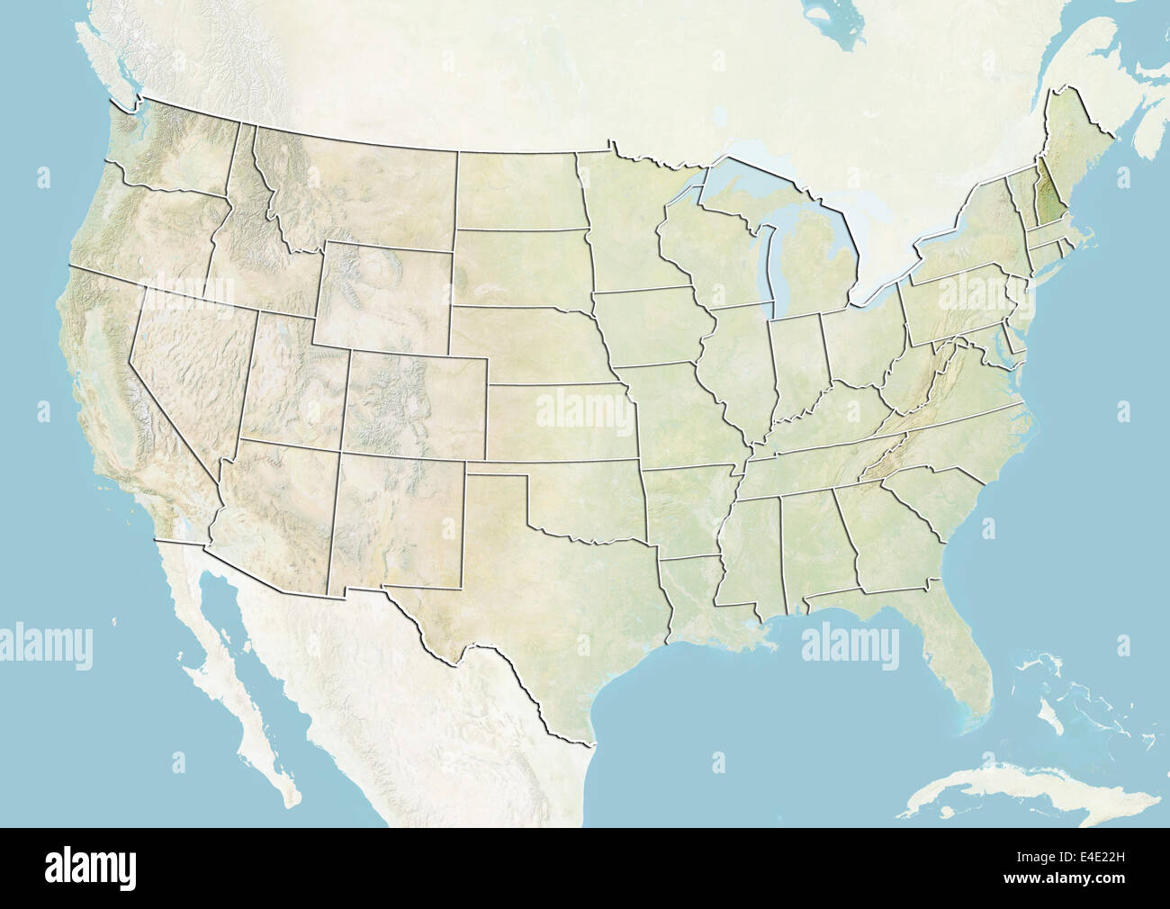
United States and the State of New Hampshire, Relief Map
RMID:Image ID:E4E22H
Image details
Contributor:
Universal Images Group North America LLC / Alamy Stock PhotoImage ID:
E4E22HFile size:
49.8 MB (1.6 MB Compressed download)Releases:
Model - no | Property - noDo I need a release?Dimensions:
4961 x 3511 px | 42 x 29.7 cm | 16.5 x 11.7 inches | 300dpiDate taken:
1 February 2012Photographer:
Planet ObserverMore information:
This image could have imperfections as it’s either historical or reportage.
Relief map of the United States showing the State of New Hampshire. This image was compiled from data acquired by LANDSAT 5 & 7 satellites combined with elevation data.