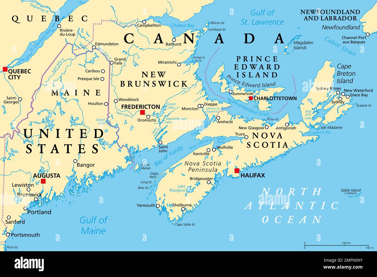
The Maritimes, also called Maritime provinces, a region of Eastern Canada, political map, with capitals, borders and largest cities.
RFID:Image ID:2MFN0XY
Image details
Contributor:
Peter Hermes Furian / Alamy Stock PhotoImage ID:
2MFN0XYFile size:
154.5 MB (3 MB Compressed download)Releases:
Model - no | Property - noDo I need a release?Dimensions:
9000 x 6000 px | 76.2 x 50.8 cm | 30 x 20 inches | 300dpiDate taken:
25 January 2023Location:
CanadaMore information:
The Maritimes, also called Maritime provinces, a region of Eastern Canada, political map, with capitals, borders and largest cities. The provinces New Brunswick, Nova Scotia, and Prince Edward Island.