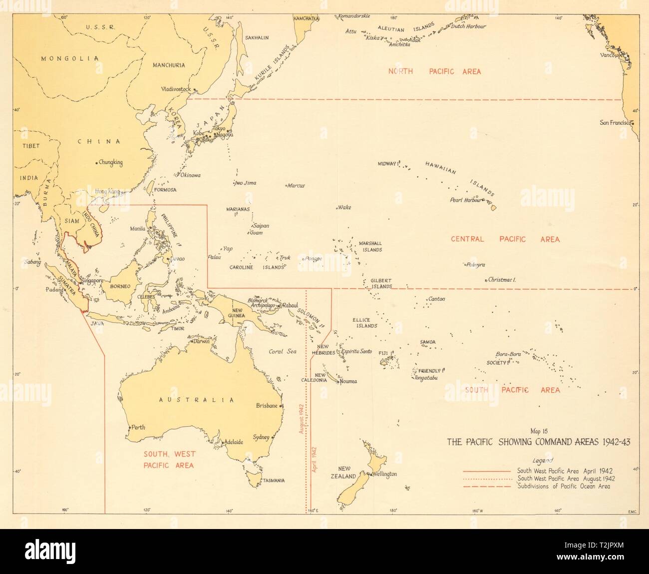
The Pacific showing Command Areas 1942-43. World War 2 1961 old vintage map
RFID:Image ID:T2JPXM
Image details
Contributor:
Antiqua Print Gallery / Alamy Stock PhotoImage ID:
T2JPXMFile size:
28.3 MB (655.5 KB Compressed download)Releases:
Model - no | Property - noDo I need a release?Dimensions:
3481 x 2837 px | 29.5 x 24 cm | 11.6 x 9.5 inches | 300dpiDate taken:
1961Location:
Pacific OceanMore information:
This image could have imperfections as it’s either historical or reportage.
The Pacific showing Command Areas 1942-43. Artist/engraver/cartographer: HMSO. Provenance: "The War against Japan. Volume 2. India's most dangerous hour", by Major General S. Woodburn Kirby, with Captain C.T. Addis, Colonel J.F. Meiklejohn (succeeded by Brigadier M.R. Roberts), Colonel G.T. Wards, Air Vice-Marshal N.L. Desoer. Her Majesty's Stationery Office, London. Contains public sector information licensed under the Open Government Licence v3.0. Type: Vintage colour military history map.