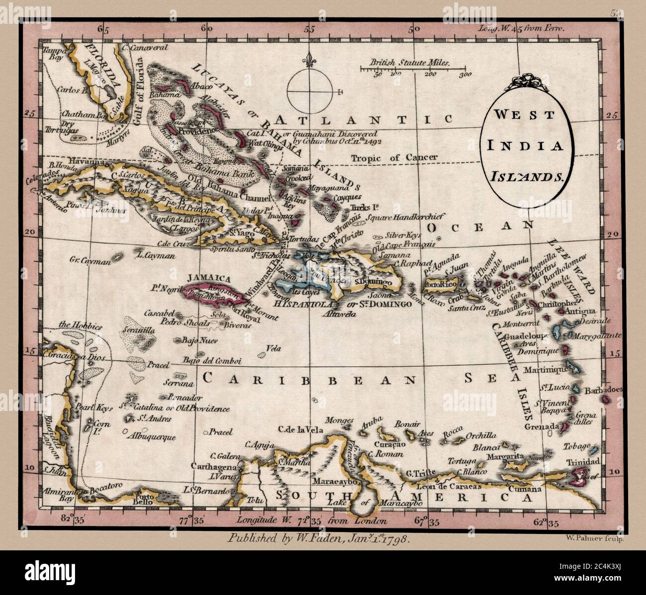
"West India Islands." Map shows islands and important landmarks of the Caribbean Sea. This is a beautifully detailed historic map reproduction. Original from a British atlas published by famed cartographer William Faden was created circa 1798.
Image details
Contributor:
Phil Cardamone / Alamy Stock PhotoImage ID:
2C4K3XJFile size:
52.7 MB (2.9 MB Compressed download)Releases:
Model - no | Property - noDo I need a release?Dimensions:
4645 x 3963 px | 39.3 x 33.6 cm | 15.5 x 13.2 inches | 300dpiDate taken:
27 June 2020More information:
This image is a public domain image, which means either that copyright has expired in the image or the copyright holder has waived their copyright. Alamy charges you a fee for access to the high resolution copy of the image.
This image could have imperfections as it’s either historical or reportage.
Guanahani, the first land supposedly sighted by Christopher Columbus, is clearly marked. This restored, detailed reproduction brings out many details and landmarks, making this map a great historical reference. I have selected interesting, old graphic images for digital restoration and editing. The images were adjusted and brightened-not merely scanned-to make the images suitable for display and other purposes. © 2020 for this restored reproduction.