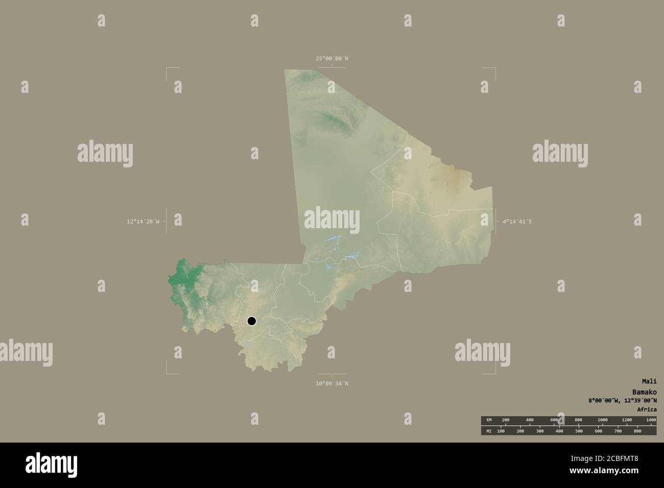
Area of Mali isolated on a solid background in a georeferenced bounding box. Main regional division, distance scale, labels. Topographic relief map. 3
RFID:Image ID:2CBFMT8
Image details
Contributor:
Yarr65 / Alamy Stock PhotoImage ID:
2CBFMT8File size:
154.5 MB (837.3 KB Compressed download)Releases:
Model - no | Property - noDo I need a release?Dimensions:
9000 x 6000 px | 76.2 x 50.8 cm | 30 x 20 inches | 300dpiDate taken:
30 July 2020More information:
Area of Mali isolated on a solid background in a georeferenced bounding box. Main regional division, distance scale, labels. Topographic relief map. 3D rendering