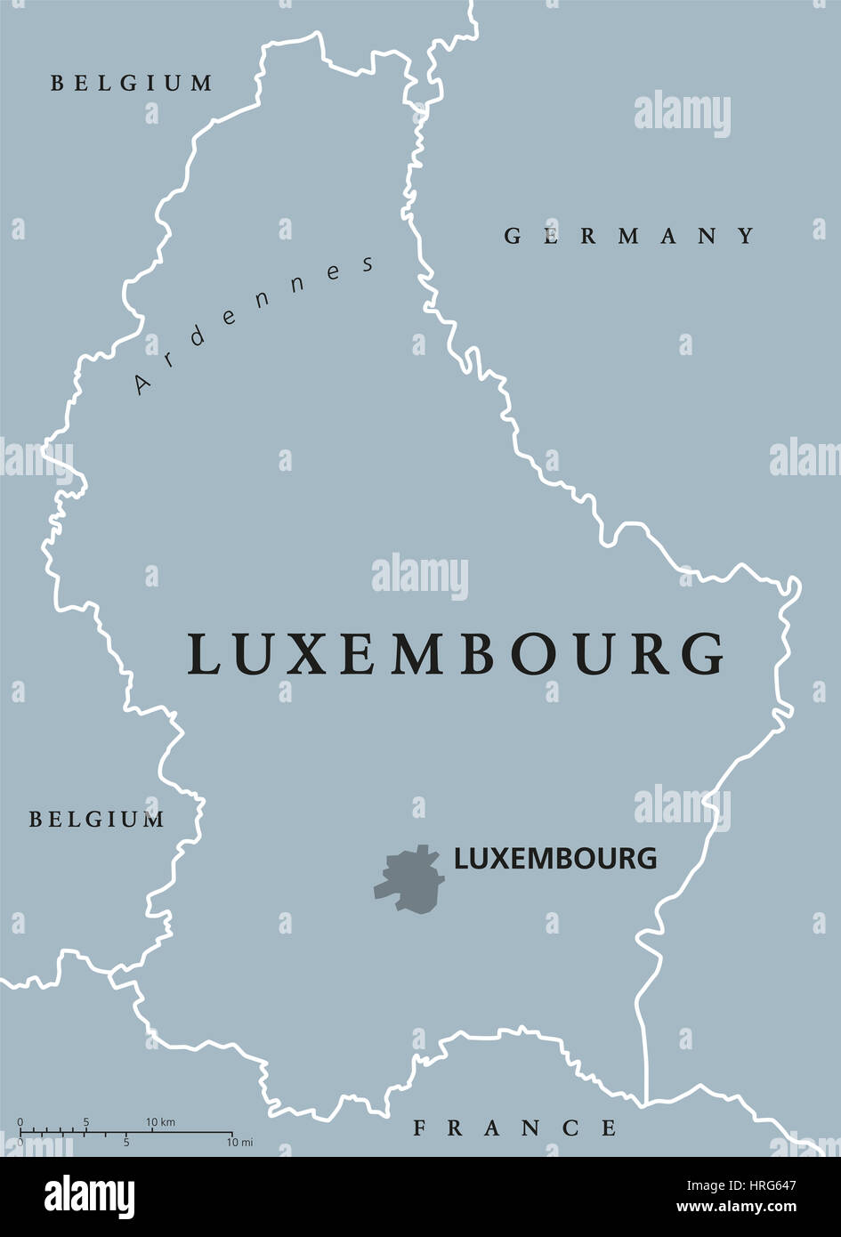
Luxembourg political map with capital, national borders and neighbor countries. Grand Duchy of Luxembourg, a landlocked country in Western Europe.
RFID:Image ID:HRG647
Image details
Contributor:
Peter Hermes Furian / Alamy Stock PhotoImage ID:
HRG647File size:
181.2 MB (1.1 MB Compressed download)Releases:
Model - no | Property - noDo I need a release?Dimensions:
6787 x 9333 px | 57.5 x 79 cm | 22.6 x 31.1 inches | 300dpiDate taken:
1 March 2017Location:
LuxembourgMore information:
Luxembourg political map with capital, national borders and neighbor countries. Grand Duchy of Luxembourg, a landlocked country in Western Europe. Gray illustration with English labeling.